Maps of the Bahamas
Feb. 28, 2022
Norman Thrower, an authority on the history of cartography, defines a map as, "A representation, usually on a plane surface, of all or part of the earth or some other body showing a group of features in terms of their relative size and position."*
Produced as clay tablets in early Babylonia, maps originated as a method to communicate concepts of space and direction. The science of cartography, or map making, evolved with early Greek culture’s advancements of astronomy, the invention of the astrolabe, geography, and mathematics. Greek geographer, Ptolemy map of the known world represented the known continents of Europe, Asia and Africa and was the first to use latitudinal and longitudinal lines.
Navigation was revolutionized with the discovery of the magnetic compass in 1187. The explorations of Marco Polo in the 1200’s spurred great interest in mapping the world. The invention of the printing press in 1450 lead to the development of sea charts and the wider dissemination of geographic knowledge. Improvements in ship design allowed exploration at greater distances and eventual discovery of the “new world.”
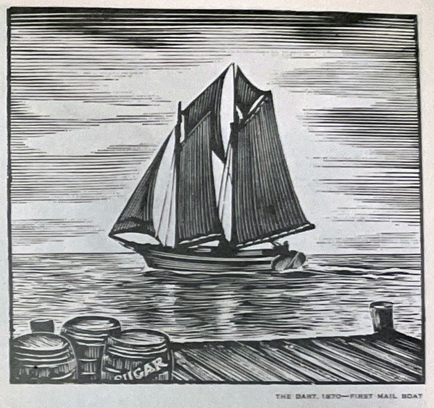
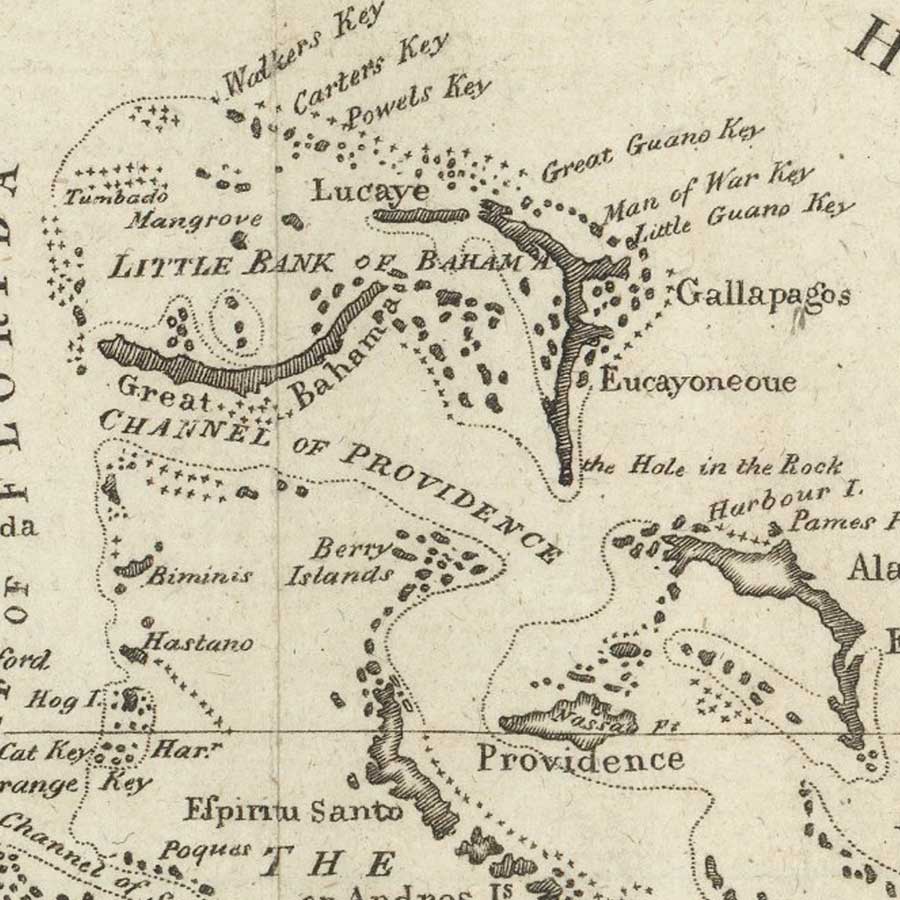
The earliest known maps of the Bahamas were created in the 1600’s. Charts detailing trading routes through the Caribbean appeared in the 1700’s. The discovery of the great riches of South America and the desire to control and exploit that wealth led to the development of maps of increased accuracy.
Cartography is not limited to the production of large-scaled views of the world in which details are limited. As interest in specific locations increased, maps at smaller scale and increased detail were created to aid in the development of countries, cities and even islands.
View the Grand Bahama Museum’s collection of maps.
See www.caribmap.org for the cartographic history of the Caribbean Islands.
*Thrower, Norman J. Maps and Civilization: Cartography in Culture and Society. Chicago: University of Chicago Press, 1996.