Maps, Documents and Publications
Maps, Documents and Publications
Popular Exhibits


Maps
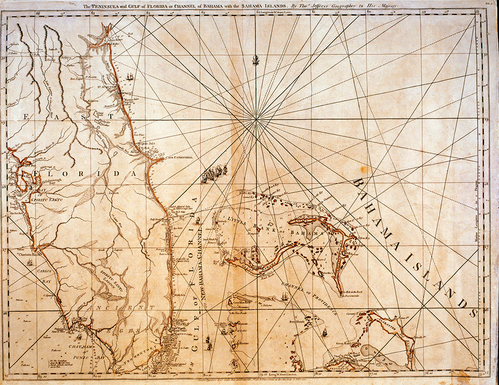
1775 Map
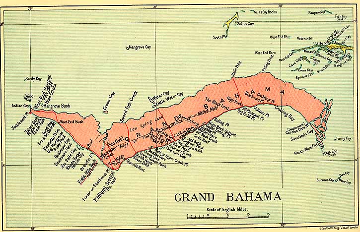
1926 Map of Grand Bahama
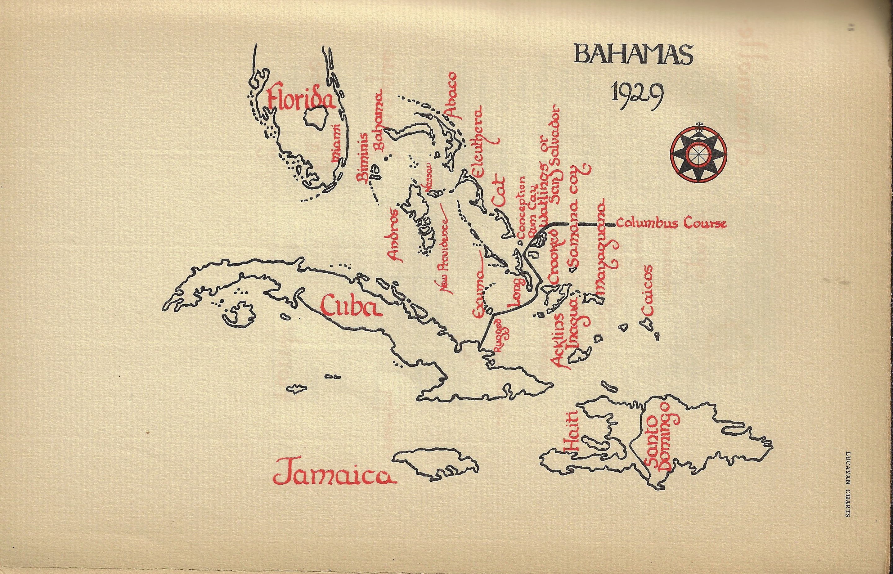
1929 Map of the Bahamas
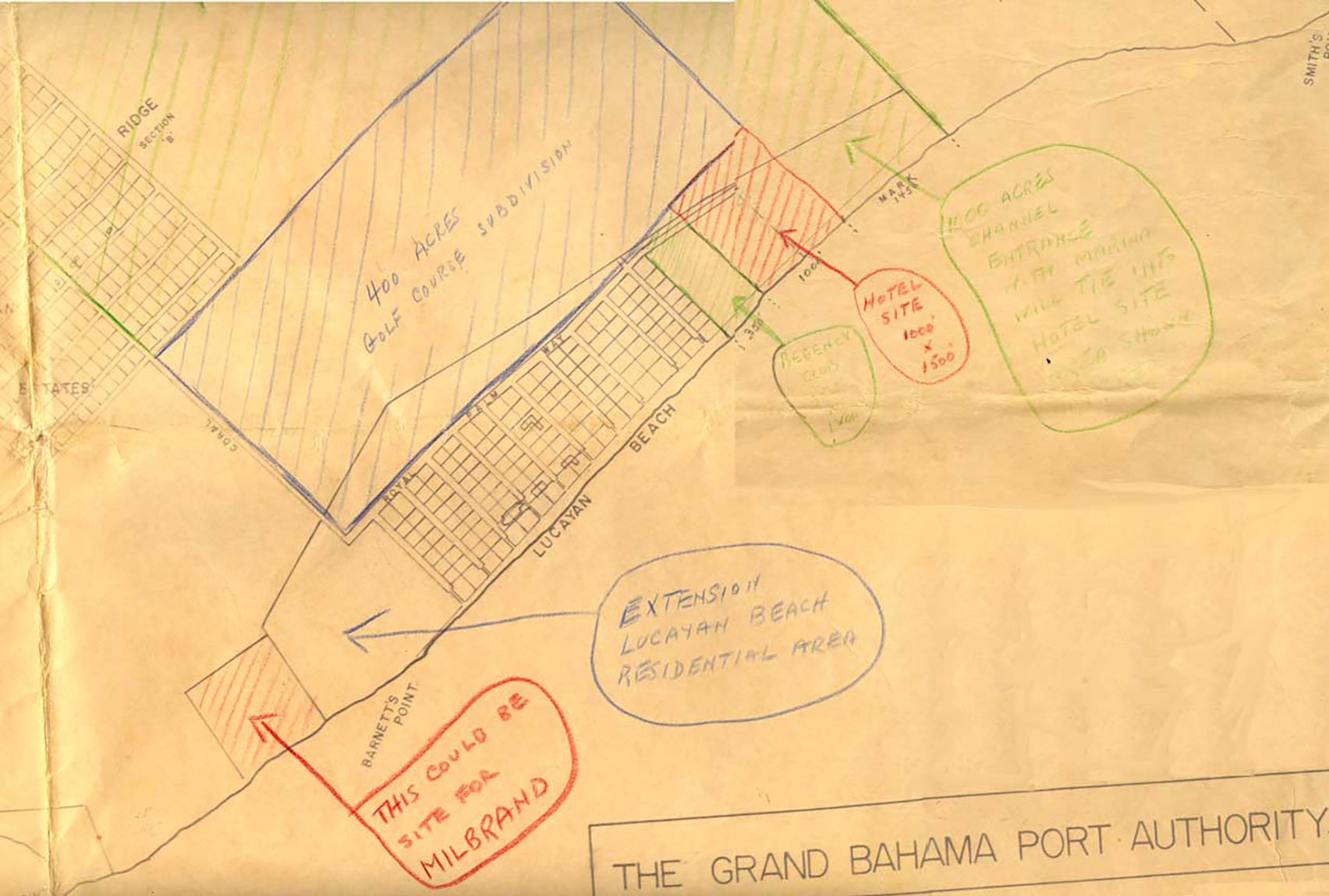
1960 Grand Bahama Port Authority Lucaya Map with Notations
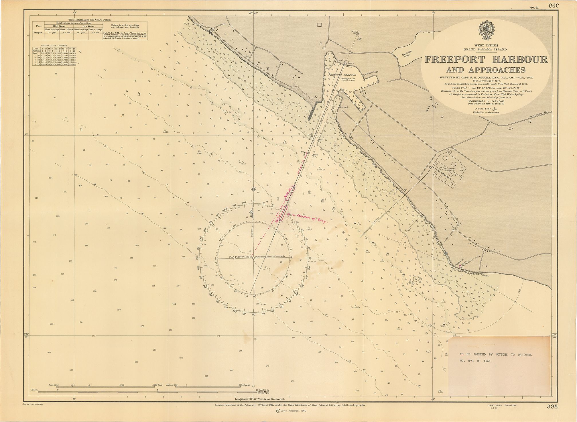
1961 Chart - Freeport Harbour and Approaches
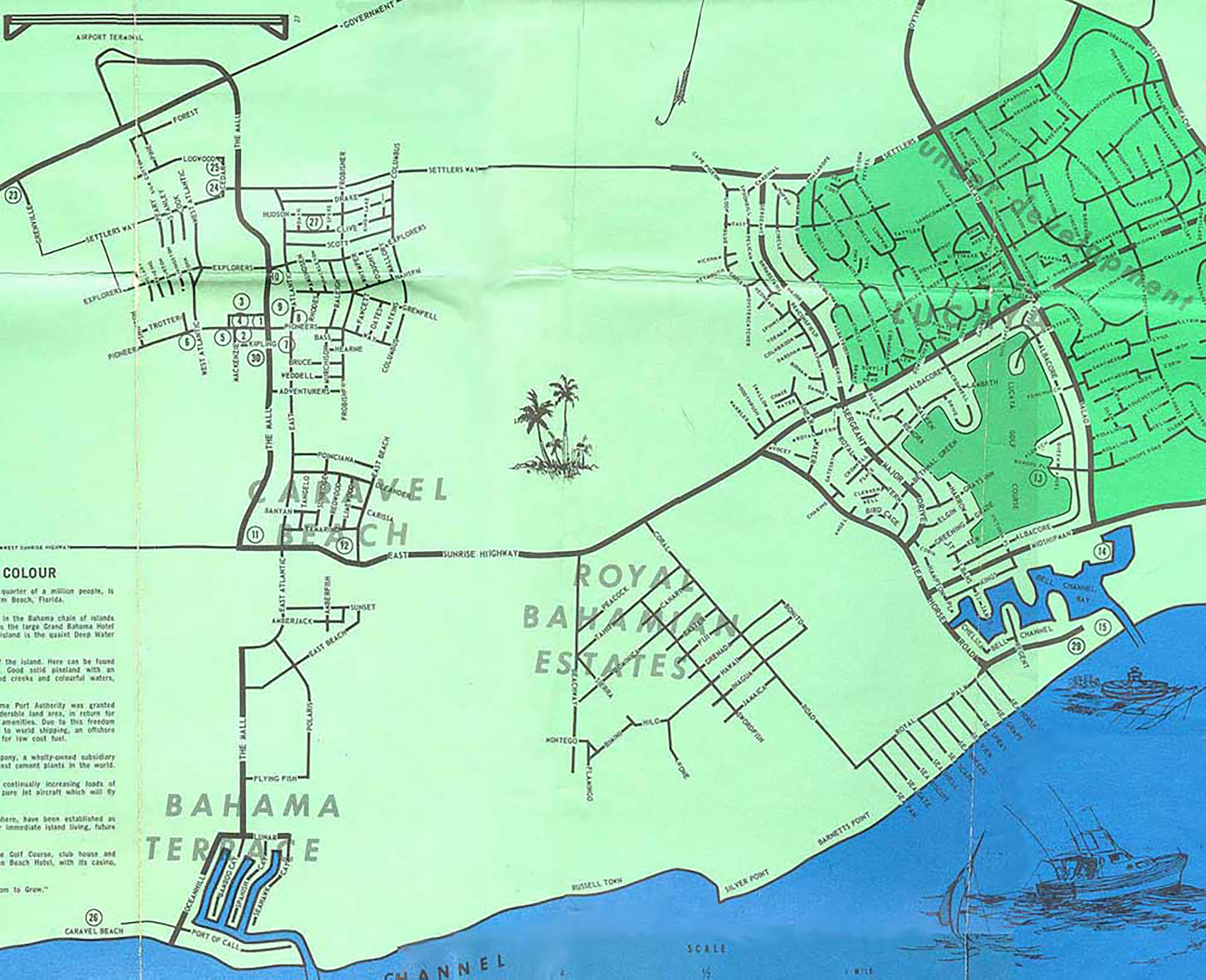
1964 Map of Freeport
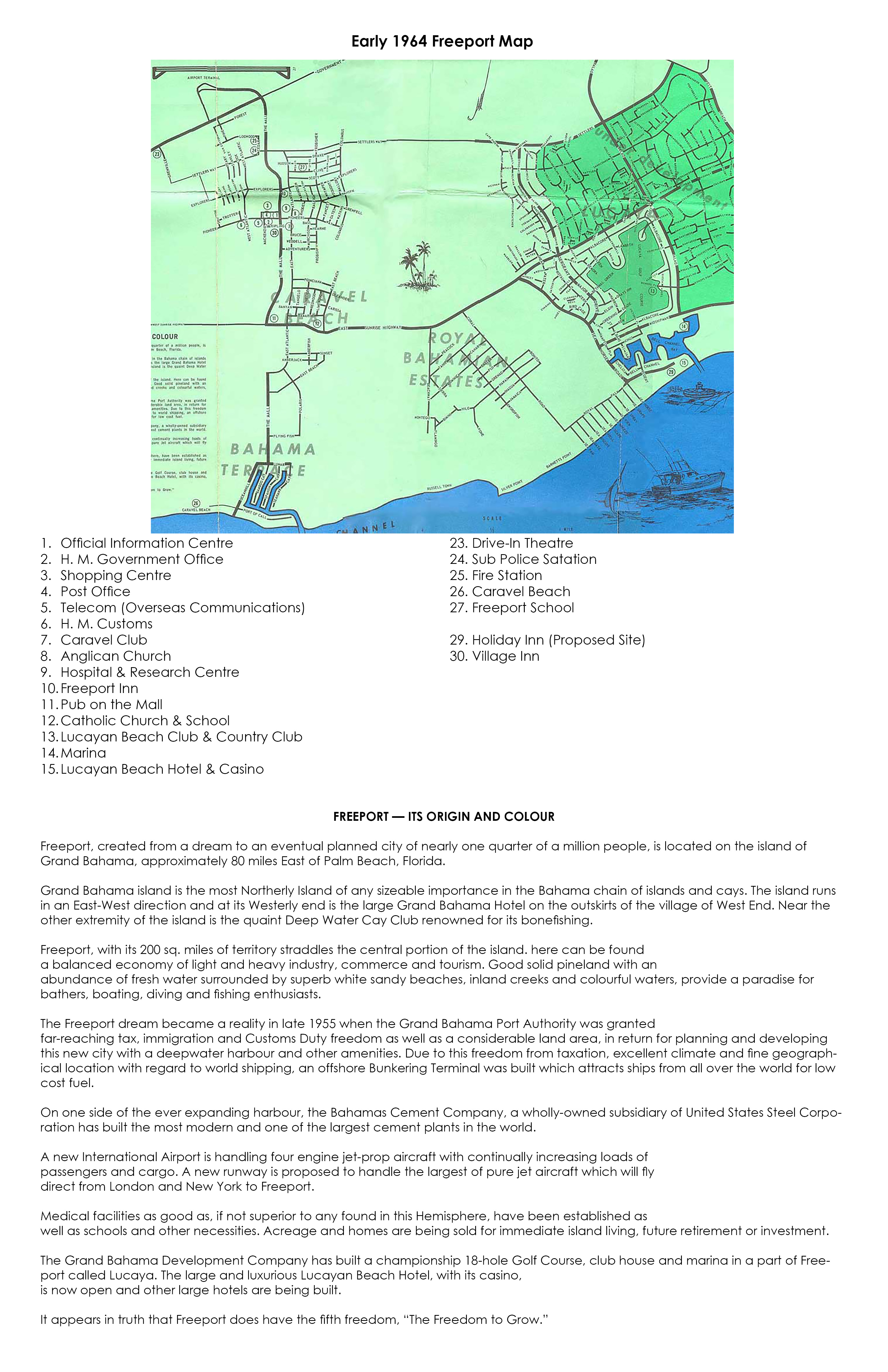
1964 Map of Freeport with Key
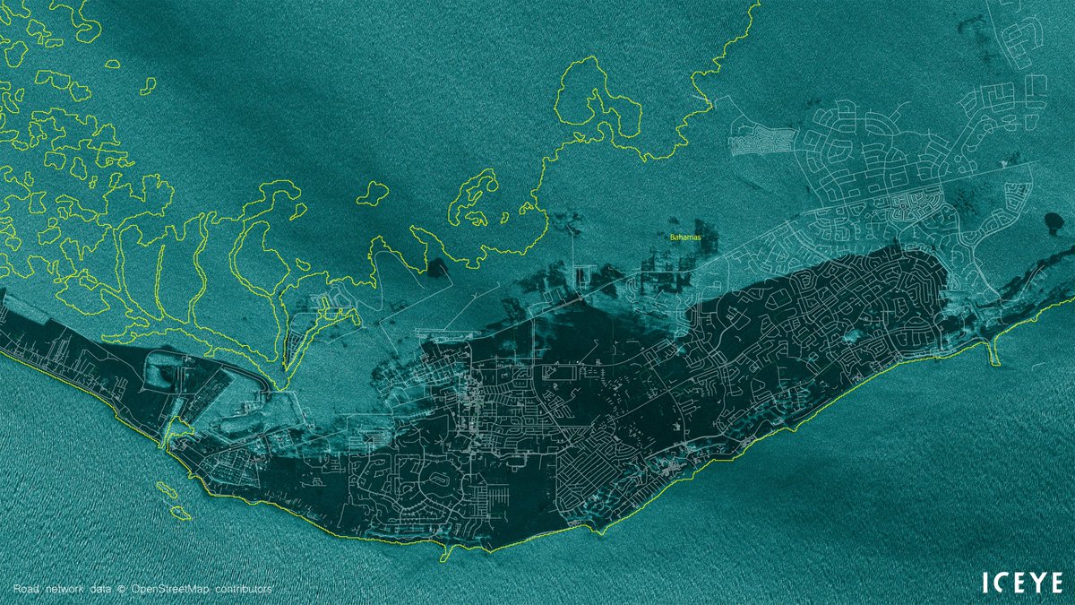
2019 Map of Flooding from Hurricane Dorian
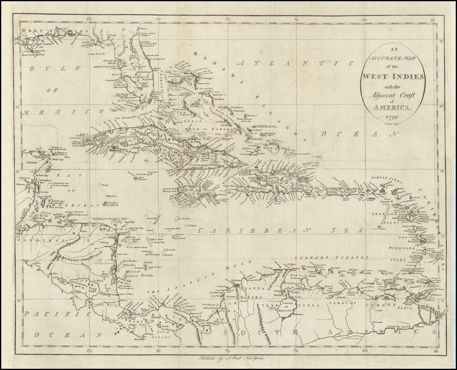
An Accurate Map of the West Indies with Adjacent Coast of America 1796 by Cartographer John Reid
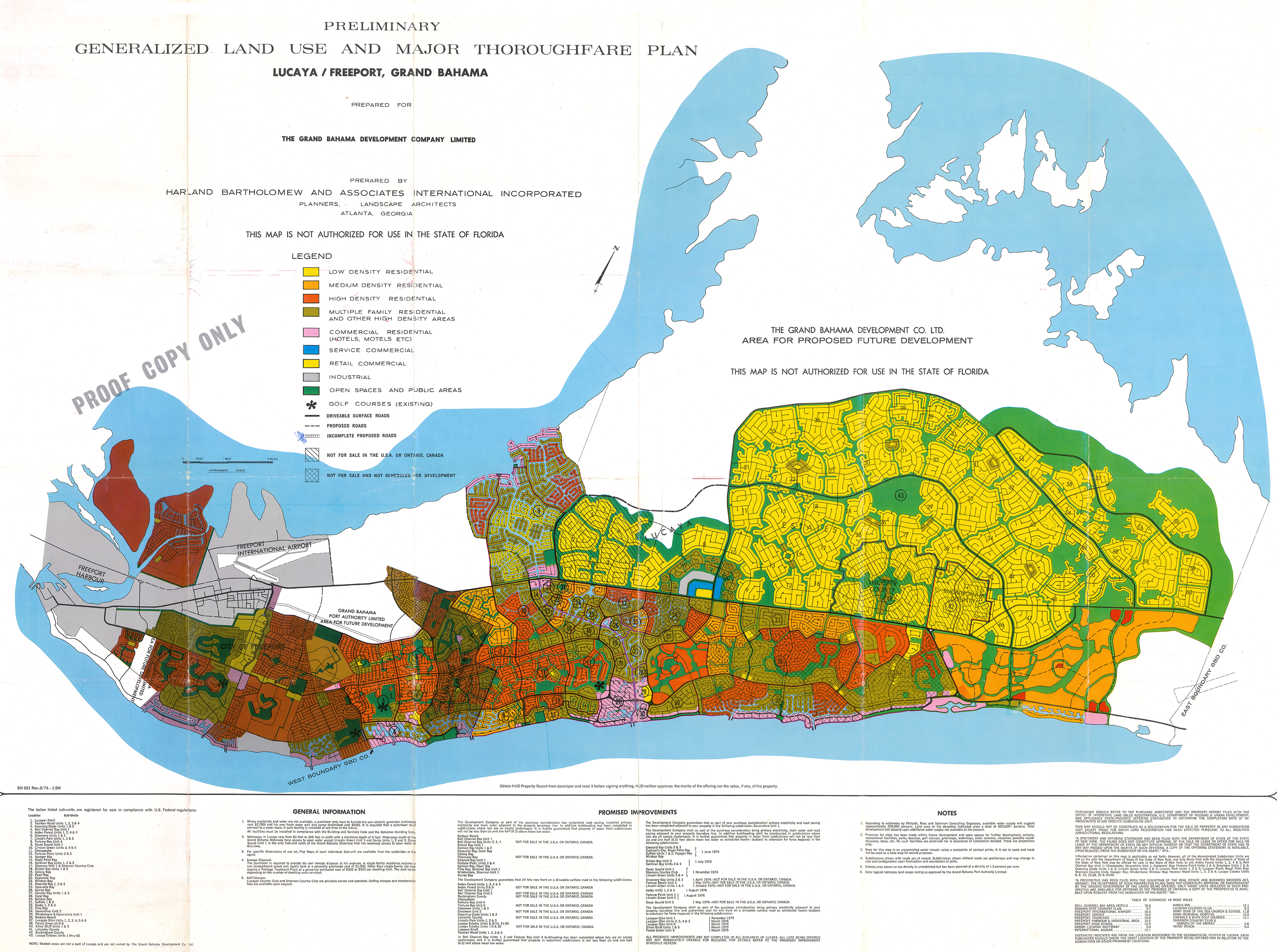
Generalized Land Use and Major Thoroughfare Plan Lucaya/Freeport, Grand Bahama 1960's
Grand Bahama Port Authority Plan #147
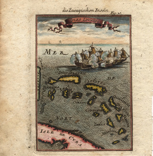
Isles Lucayes map, 1686
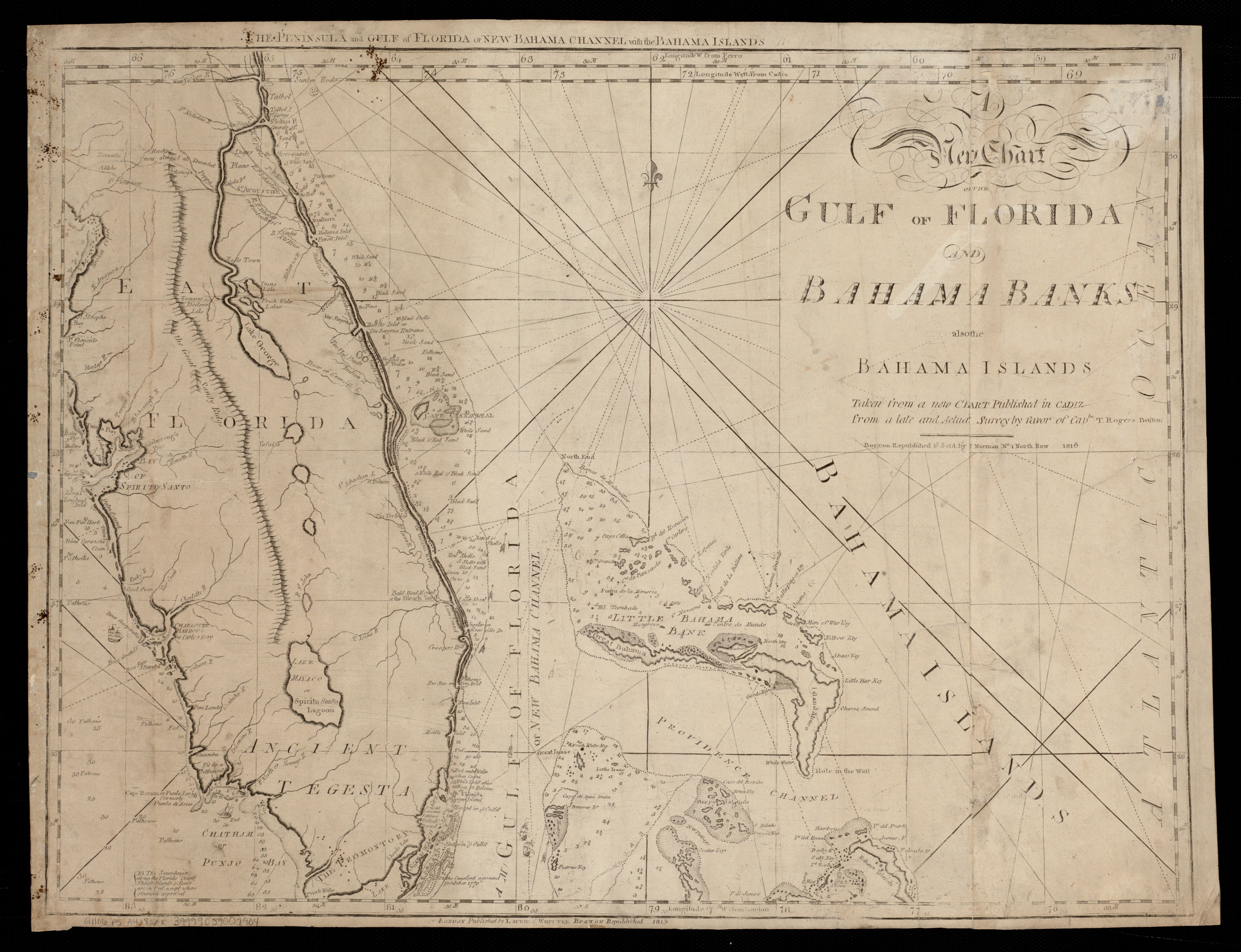
Map of Golf of Florida and Bahama Banks published in 1816 by favor of Captn. T. Rogers
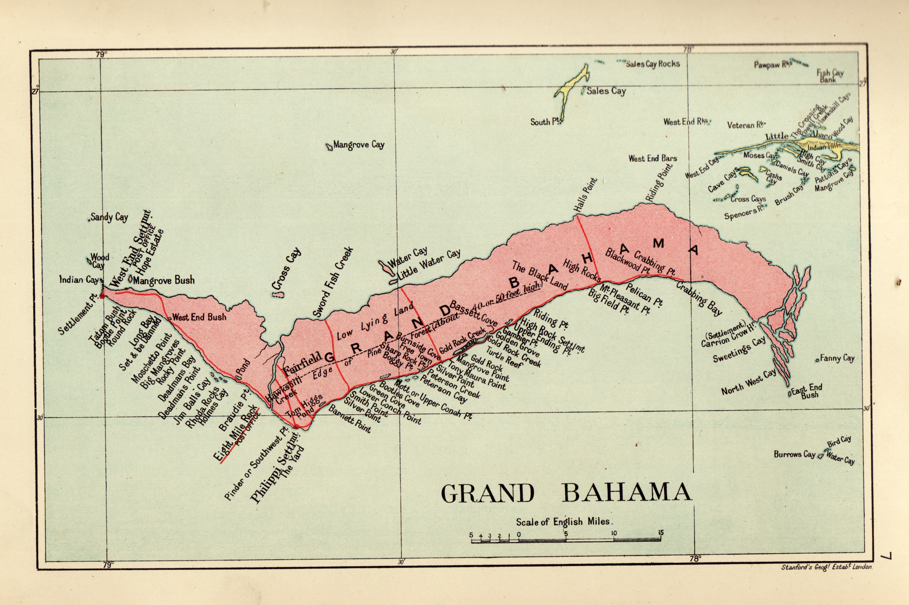
Map of Grand Bahama Island, 1926
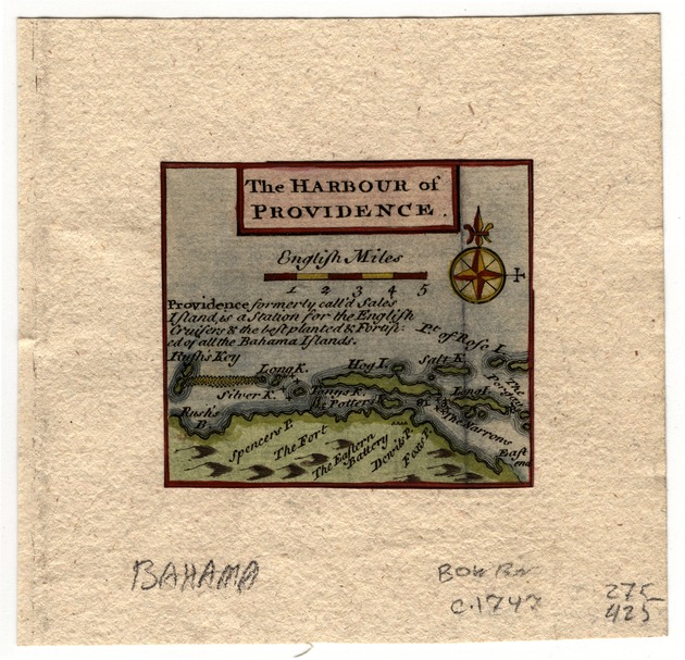
Map of Harbour of Providence, 1747
Map of Insulae Americanae in Oceano Septentrionali, C 1740 by Catographer Willem Janzoon Blaeu
Map of the Bahama Islands 1905
Map of the Bahams from Lady Brassey, 1885
Map of the Caribbean, 1726
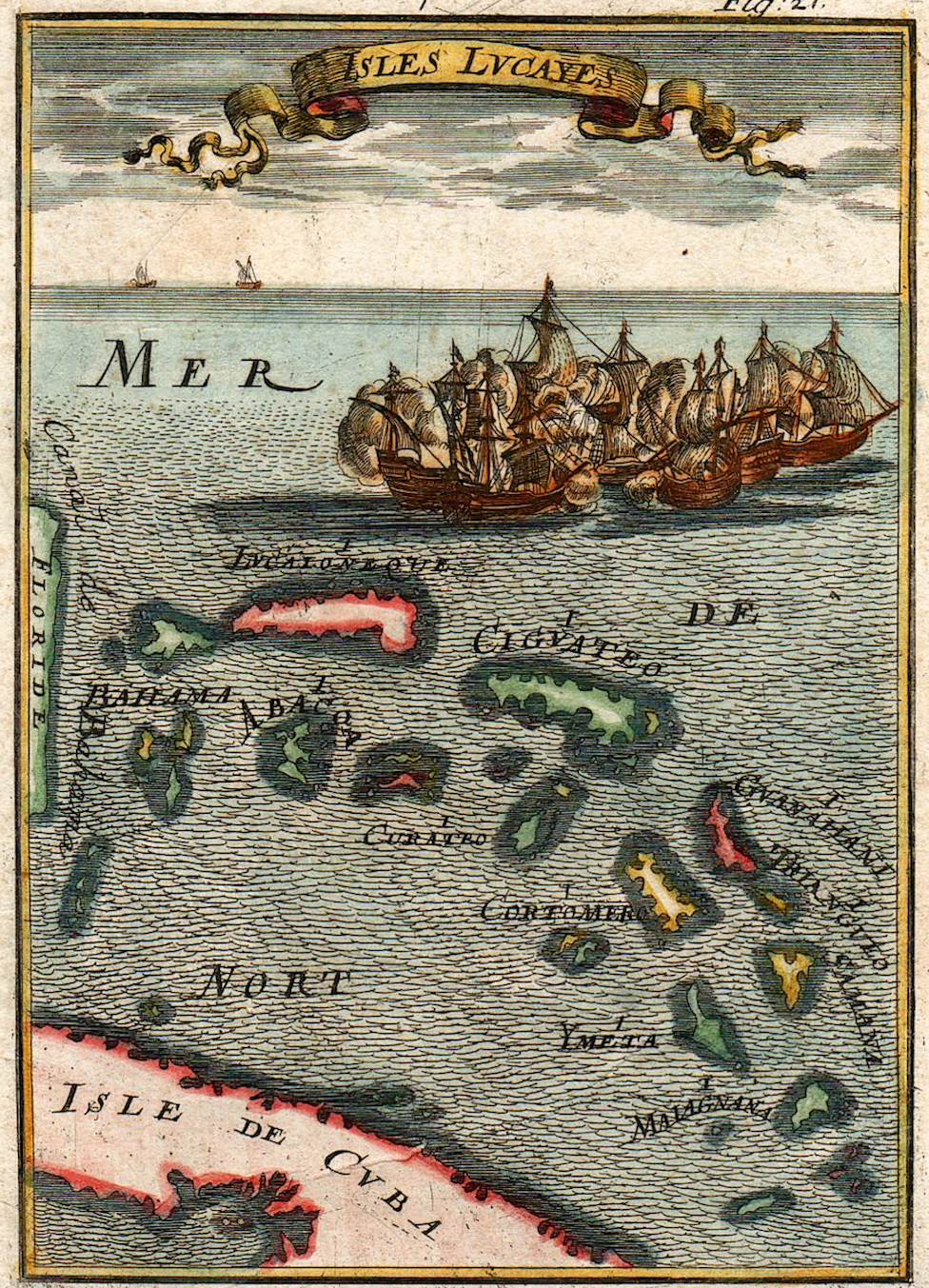
Map of the Isles Lucayes by Cartographer Alain Mallet 1686
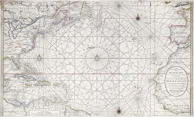
Map of the Spanish Sea Channel, 1690
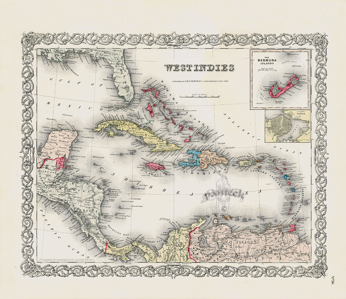
Map of the West Indies and Bermuda Islands by Cartographer Joseph Hutchins Colton c 1865
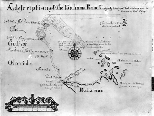
Old English map of the Bahama Banks showing important shipwrecks.
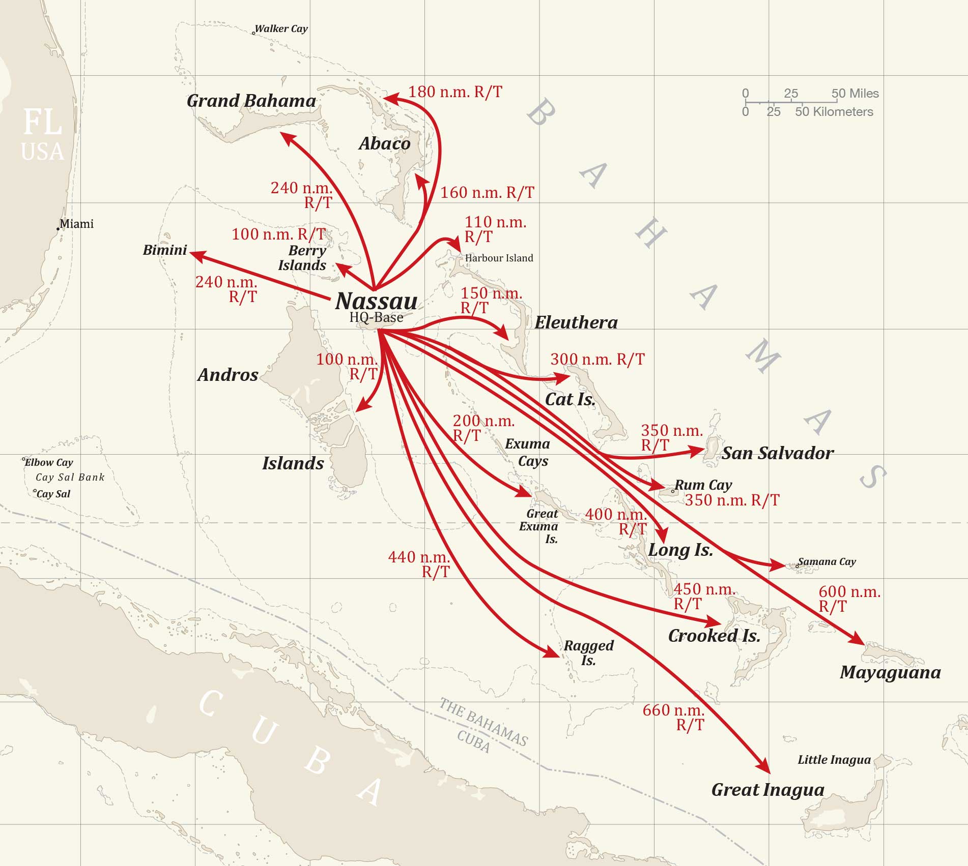
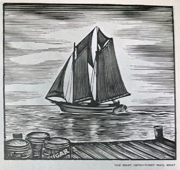
Pratt Chart, Bahamas Mail Routes
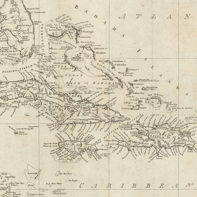
Section of 1796 Map by Cartographer John Reid showing an enlarged view of the Bahamas
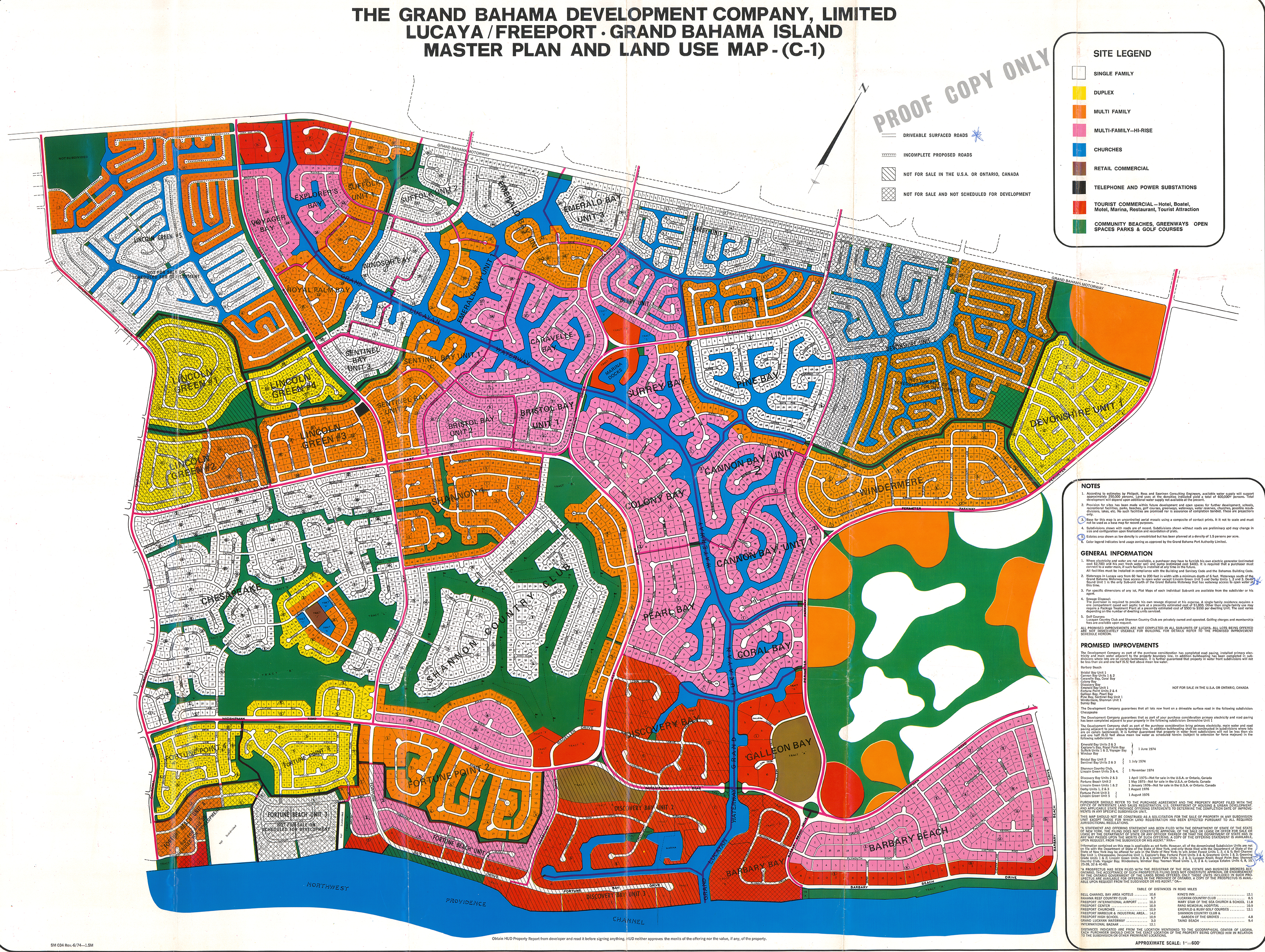
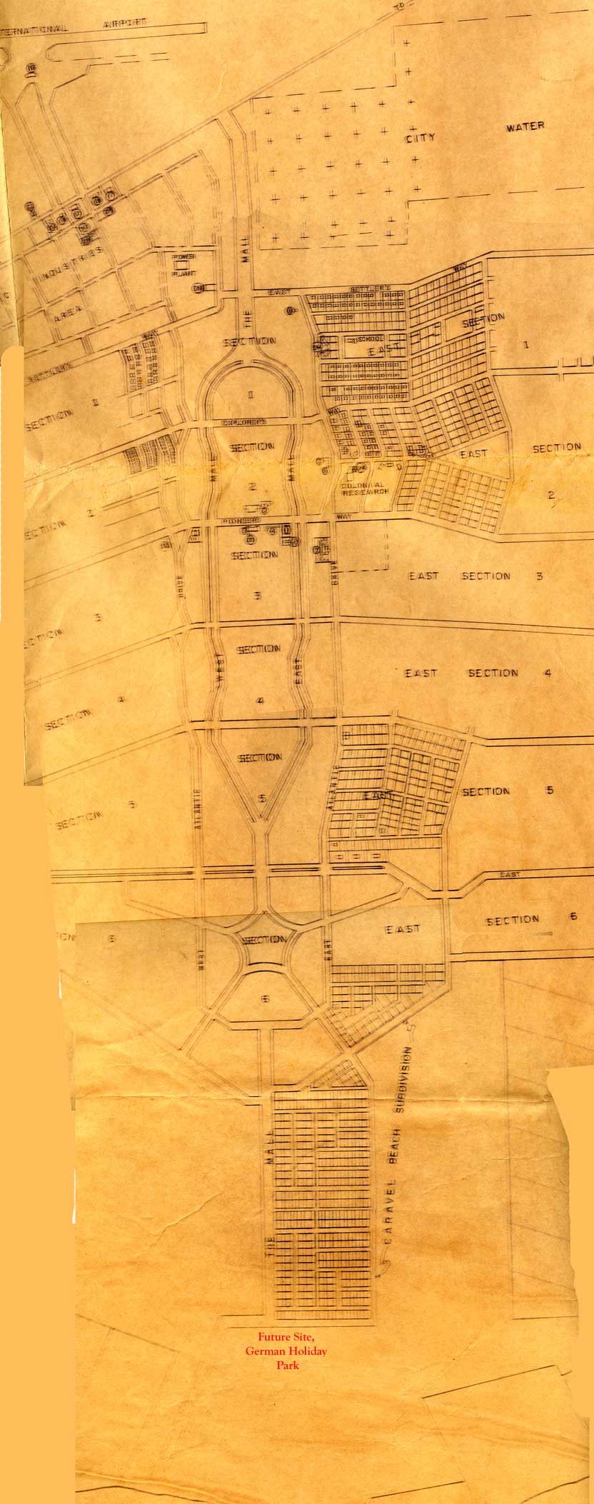
The Grand Bahama Development Company, Limited Lucaya/Freeport - Grand Bahama Island Master Plan
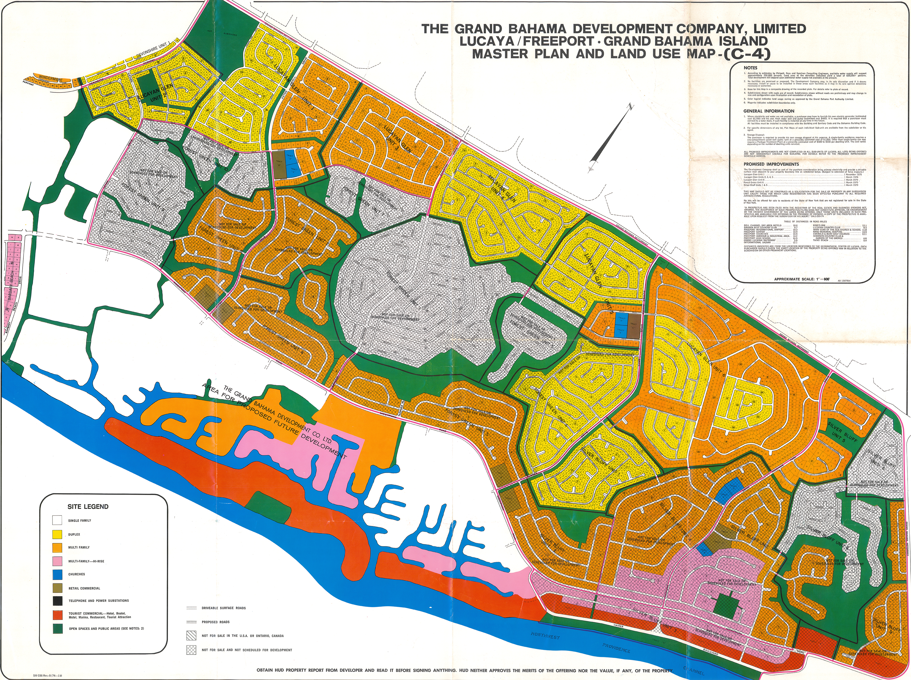
The Grand Bahama Development Company, Limited Lucaya/Freeport - Grand Bahama Island Master Plan
West Indian Hurricanes August 1878-1903
West Indian Hurricanes July 1878-1903
West Indian Hurricanes May 1878-1903